Having traveled extensively through Utah, I can honestly say this is one of my absolute favorite regions in the 50 United States.
A Utah National Parks road trip – one of the great American road trips, is the best way to explore its biggest attractions – Utah’s Mighty 5.
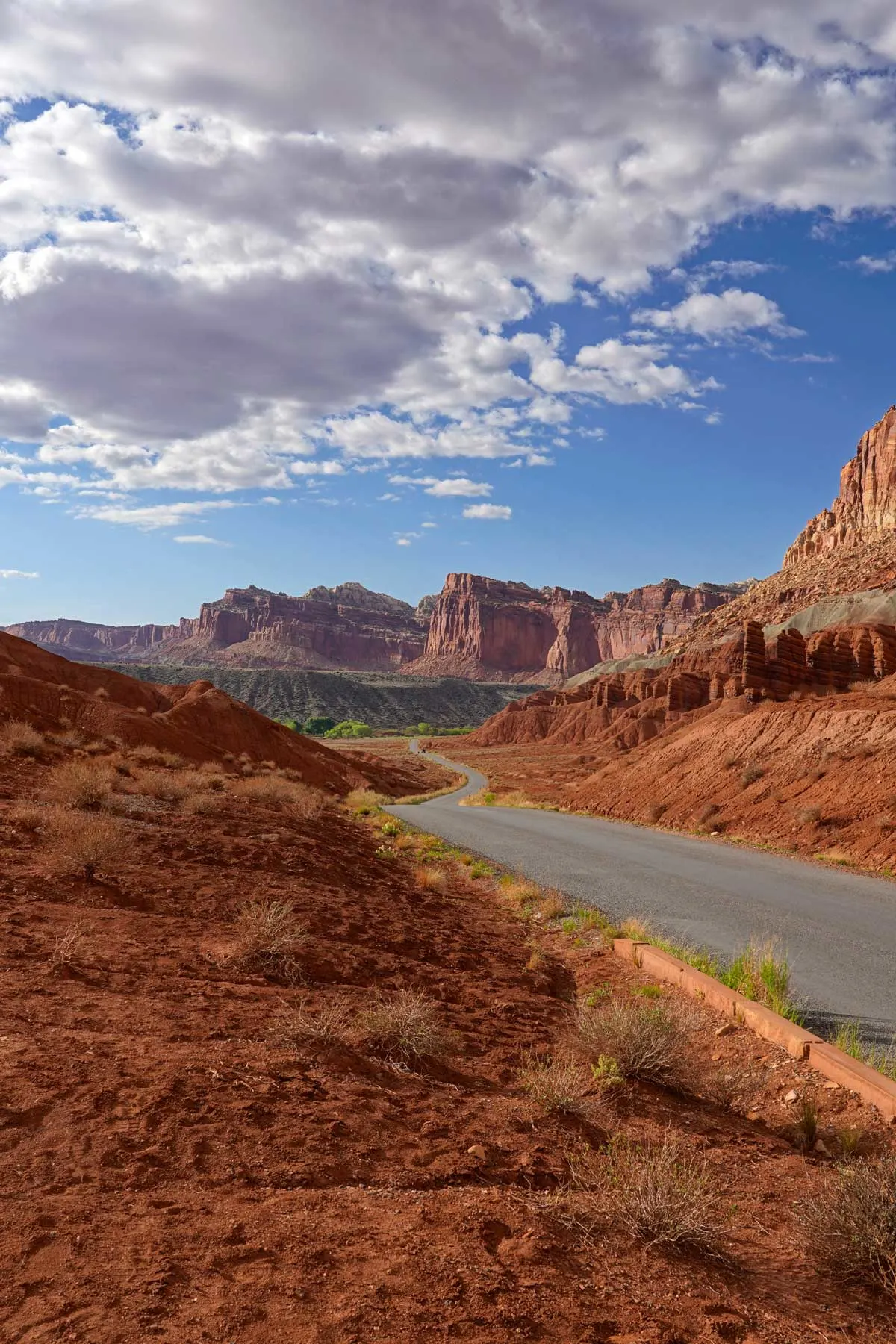
Southern Utah is an incredible outdoor playground with red-orange rocks, arches galore, caves, tall mountains, slot canyons, crazy rock formations, hoodoos, and unforgettable trails.
Utah has five national parks, often called “the Mighty 5”. Each offers a unique chance to explore Utah’s natural beauty – landscapes that leave your jaw on the floor. They also boast some of the best hiking in the US.
On a Mighty 5 Road Trip, you’ll experience some of the most stunning natural displays in the world, from viewing incredible arches as you hike through Arches National Park to tackling a precarious, bucket list hike in Zion National Park.
How to Do a Road Trip Through Utah’s 5 National Parks
In Utah, you’ll find five of the best national parks in the US, all located within about a 5-hour region, making driving from park to park easy.
If you’re flying in, the closest airports are Las Vegas or Salt Lake City. It’s just under 4 hours from Salt Lake City to Arches National Park. If you’re flying into Las Vegas, it’s about 2 hours from the airport to Zion National Park.
Either starting point works well, and you can do a point-to-point trip or loop back to your beginning without much difficulty.
America the Beautiful Pass
If you are planning a Utah National Parks road trip, I highly recommend you buy the $80 America the Beautiful Pass (also known as the National Parks Pass or the Interagency Pass).
This pass gives you unlimited access to all the sites in the National Park System for one year. The entry fee for each national park averages around $30, so it’s excellent value.
Find out more about the America the Beautiful Pass and how to pre-purchase online.
Best Time to Do a Mighty 5 Road Trip
You really can do a road trip through Utah’s National Parks any time of year, making it one of the most popular outdoor adventure vacation destinations.
In the winter, you’ll have the lowest crowd levels but may also encounter snow, especially in Bryce Canyon (which sits at 7600 feet in elevation).
Spring and fall are lovely times to visit, as the weather is mild. However, crowds can get heavy during spring and fall break weeks.
Summer is a nice time to visit because the days are long but are also extremely hot. Temperatures can regularly soar over 100 degrees (Bryce Canyon tends to be a little cooler, thanks to the higher elevation). However, as it’s the desert, the evenings and mornings are blissfully cool, and even a little shade during the middle of the day helps significantly.
The parks are busy, and the heat is intense, but with some strategy, you can still pull off a great Utah road trip in the summer. This brings me to my next point.
Strategy for This Itinerary
The time of year will influence how I recommend you tackle this road trip.
If you plan this trip in the winter, early spring, or late fall, I recommend doing hikes during the regular daylight hours as the days are shorter, and the weather is cooler. You can then drive to the next park in the evening when the sun has gone down.
If you are making this road trip in the summer (or late spring/early fall): Early starts are recommended, as close to sunrise as possible, to hike in the early morning before it gets too hot.
I plan to do most of the driving during the middle of the day, whether that means doing scenic drives, getting out, looking at the viewpoint, and then getting back in the AC, or driving several hours to the next national park.
The heat will decrease significantly by 6:30-7 pm, making it much more comfortable to go on longer hikes.
Utah’s National Parks-A Detailed Breakdown
So, what is it like visiting Utah’s national parks? In the following sections, we will break down each national park in Utah, what they are known for, top hikes and viewpoints, and everything you need to know about visiting.
To illustrate how a road trip could look, this is the route we would suggest following if you fly into Las Vegas airport and start the road trip from the south, heading north.
Zion National Park
Distance from Las Vegas: 2.5 hours, 159 miles
Known For
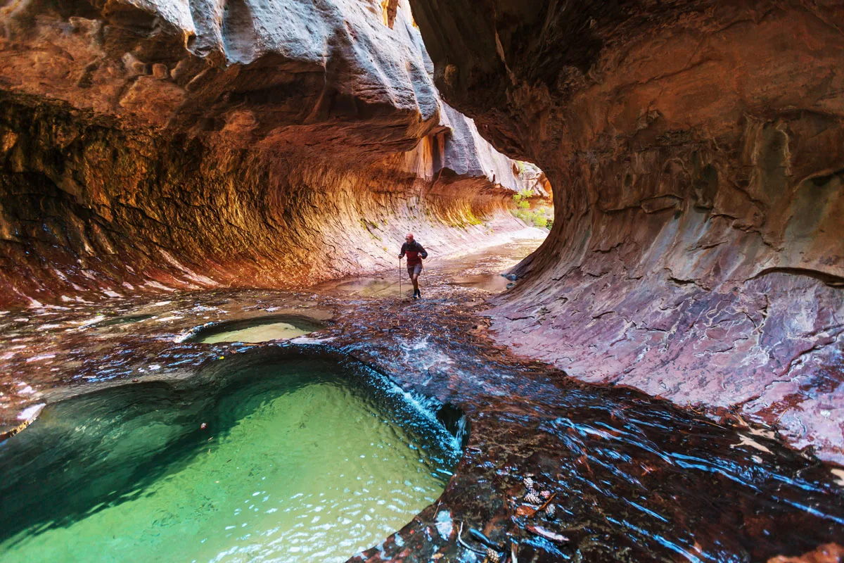
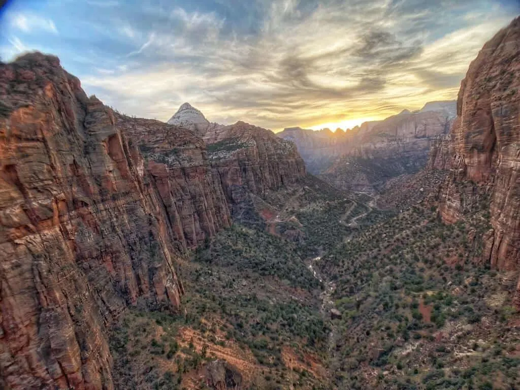
Zion National Park is known for its tall dramatic canyons with steep walls, epic viewpoints overlooking the canyon, and some adventurous and unique hikes.
Zion NP is the 3rd most visited national park in the United States, and for a good reason – the vistas in Zion take your breath away, and the hikes will get your heart pounding (and not just because you’re exercising).
Crowd Levels
Cowd levels can be very high during peak seasons and during school breaks
Closest Town to Zion national park
Springdale. Springdale is a fairly well-developed town, with 10-15 good hotels, many restaurants, a grocery store, outfitter shops, and a few other stores.
Can’t Miss Hikes in Zion
- The Narrows is a hike unlike any other as you hike in a river through a stunning slot canyon.
- Angel’s Landing leads across an incredibly skinny spine and up the side of the cliffs to an incredible vista. In the last section of the hike, the spit of land the trail is on is so skinny that there are chains to hang onto as you hike.
- Finally, Canyon Overlook is a relatively gentle hike that nevertheless offers fun variety and ends with a dramatic view over Zion Canyon.
Can’t Miss Viewpoints
Canyon Overlook for the great views over the canyon without the crazy hike, and Checkerboard Mesa for the interesting rock formations in a less visited area of the park.
Permits or Reservations Required
Yes. While you don’t need a reservation to get into the park, you need a permit to hike Angel’s Landing. These permits are available by lottery, and you can apply for the seasonal lottery a few months in advance or the day-before lottery. You can apply for both lotteries here.
Shuttle Bus
During high season (between March 11-November 26), a shuttle bus runs to the different trailheads in the park.
During this period, when the shuttle bus is running, you are not allowed to drive your personal vehicles into Zion National Park. No reservations or permits are needed to ride the bus, but be aware that you may have to wait a bit during busy times to get on the bus.
Camping in the Park
One campground in Zion, the Watchman Campground, is currently open inside the park. There are 176 spots, including RV sites and tent sites. All sites require reservations, which can be made online up to six months in advance.
How Many Days Do You Need in Zion NP
- With one day, you can easily do Angel’s Landing or the Narrows, plus another, smaller hike. If you’re very fit, you could possibly fit both the Narrows and Angel’s Landing into the same day.
- You can do both big hikes and several smaller ones in two days.
- With three days, you can see and do most of the main hikes in the park.
Bryce Canyon National Park
Distance From Zion: 1 hour 45 minutes, 85 miles
Known For
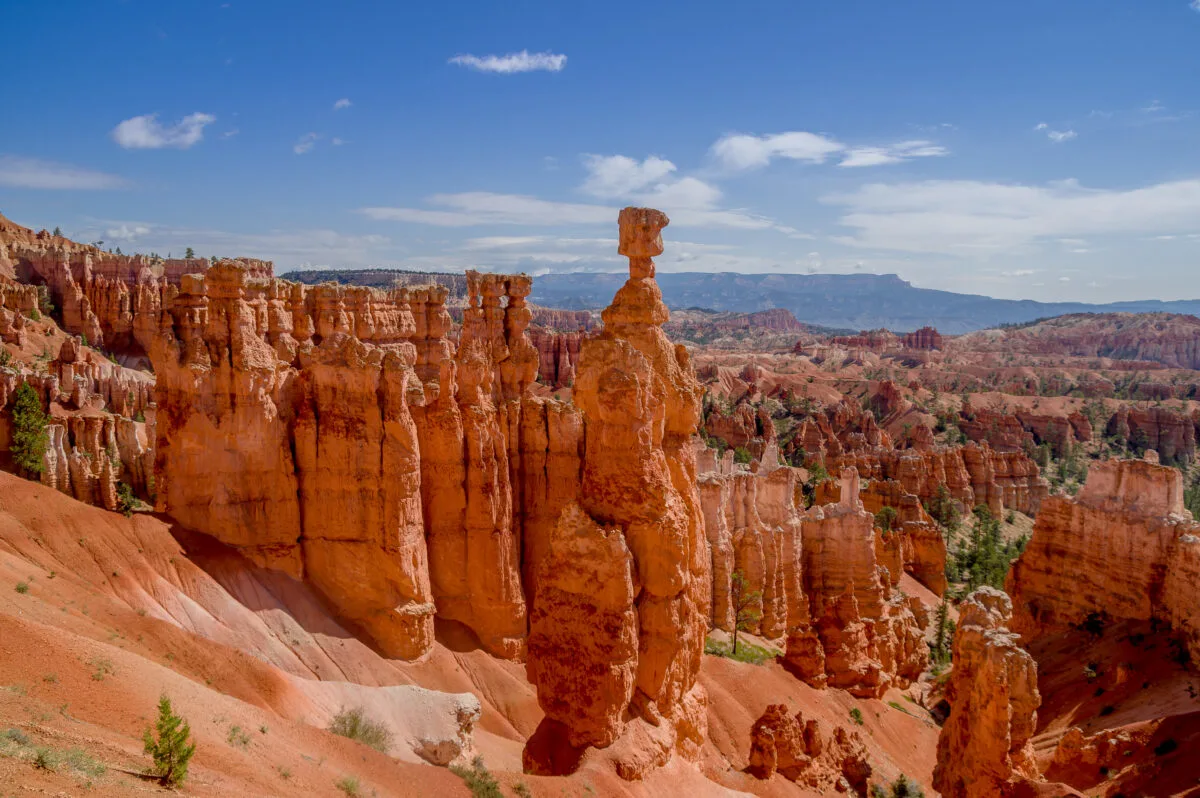
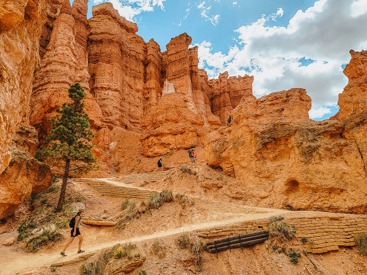
Bryce Canyon is known for the tall, skinny, spindly orange rocks, known as hoodoos, that fill the park.
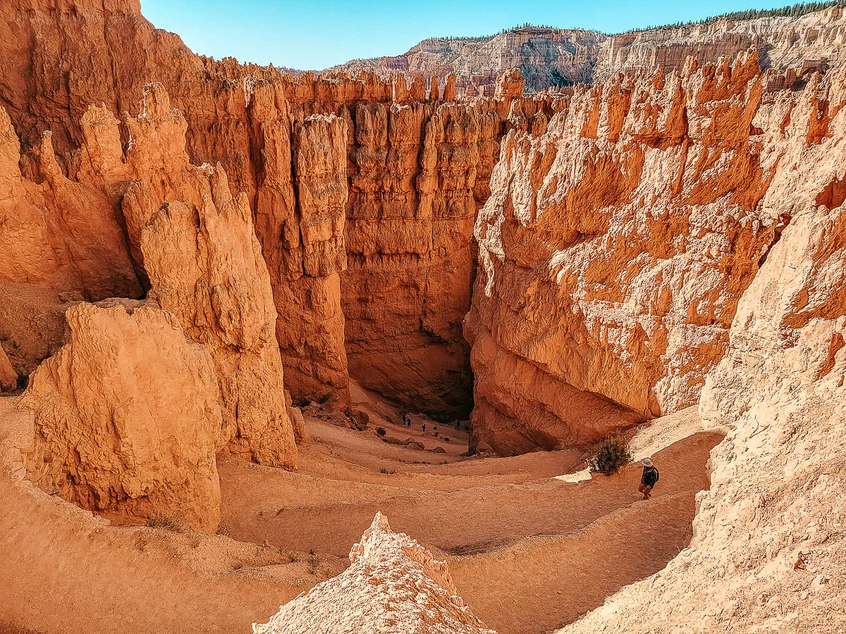
The main part of Bryce Canyon is the Bryce Amphitheater, a curved rim that drops off into a bowl-shaped area filled with hoodoos.
The unique geography of the amphitheater allows for several great viewpoints overlooking the hoodoos. There are also incredible hikes down in and among these otherworldly rock formations.
Crowd Levels
Bryce Canyon sees much lower crowd levels than Zion or Arches National Park. Even during high season, the crowds are at manageable levels.
Closest Town to Bryce Canyon
The town of Bryce is right outside the entrance to the park. Bryce is a very small town with only a few hotels, a gas station, and a convenience store.
Can’t Miss Hikes in Bryce Canyon
The number 1 must-do hike in Bryce Canyon is the Navajo Loop to Queen’s Garden Trail. The 3-mile hike takes you into the valley, hiking among the hoodoos. You’ll pass through slot canyons and tight switchbacks and through a maze of the tall, orange spindles.
Other great hikes are the Rim Trail, giving you views down into the Amphitheater, and the Fairyland Loop, a lesser trafficked hike that still takes you down and among the hoodoos.
The Mossy Cove Trail is another great hike that’s short and easy and takes you to a small stream and waterfall on the outskirts of the park.
Can’t Miss Viewpoints
- Sunrise and Sunset Point are both incredible vantage points over the hoodoos.
- Bryce Point and Inspiration Point also offer great vistas from the opposite side of the amphitheater.
- Don’t miss the Natural Bridge Overlook, where you can see the incredibly large arch from the Scenic Route.
Permits or Reservations Required
There are no permits or reservations of any kind required to visit Bryce Canyon.
Shuttle Bus
Bryce does offer a shuttle bus that starts outside the park in the town of Bryce. It makes a loop to the main points of interest in the park. However, you can also drive yourself in and park at the trailheads and viewpoints.
Parking fills up as the day goes on.
Camping in the Park
Bryce Canyon has two campgrounds inside the park limits. North Campground has 100 sites and is first come, first serve.
Sunset Campground has 99 sites. You must make reservations in advance.
How Many Days Do You Need in Bryce Canyon?
- You really only need one day in Bryce Canyon to experience the top hikes and viewpoints in the park.
- With two days in Bryce Canyon, you can do some of the longer, more off-the-beaten-path hikes that take you deeper into the hoodoos in the amphitheater.
Capitol Reef National Park
Distance From Bryce Canyon: 2 hours, 112 miles
Known For
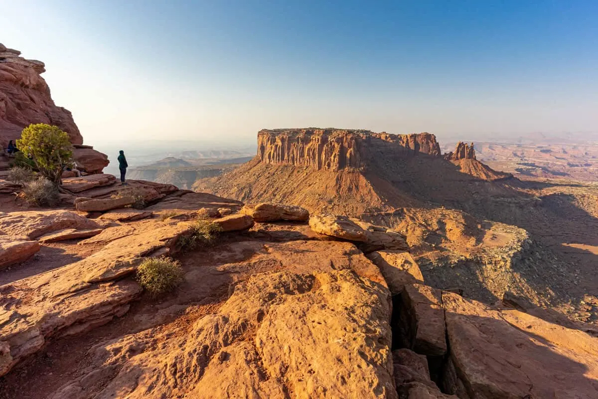
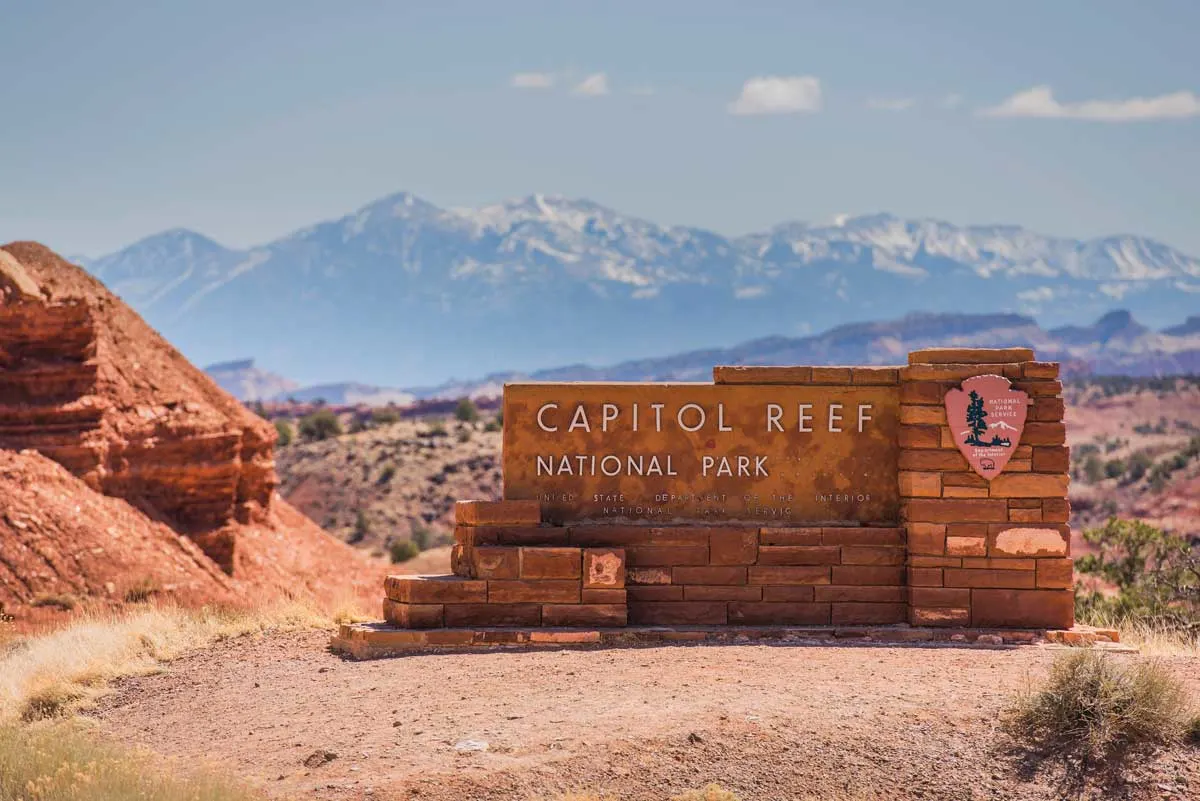
The distinctive feature of Capitol Reef National Park is the Waterpocket Fold – a wrinkle in the earth’s crust where earth layers fold over on themselves, creating the distinctive rugged scenery in the park.
The park is named for the large white sandstone “domes” found in the park that resemble the dome of the US Capitol building.
Cathedral Valley is a remote park section with incredible, freestanding, steep monolith rocks. The park is long and skinny – 60 miles long north-south, but only 6 miles across in some places.
Crowd Levels
Capitol Reef National Park is Utah’s least visited national park, with low crowd levels.
Closest Town to Capitol Reef NP
Torrey is a small town located on the western side of Capitol Reef National Park. It is the closest town to the park.
Hanksville is on the park’s eastern side, a little bit farther away (about 30 minutes).
Both of these towns are tiny, have around 200 people, and have a few restaurants, hotels, and a general store.
Can’t Miss Hikes in Capitol Reef National Park
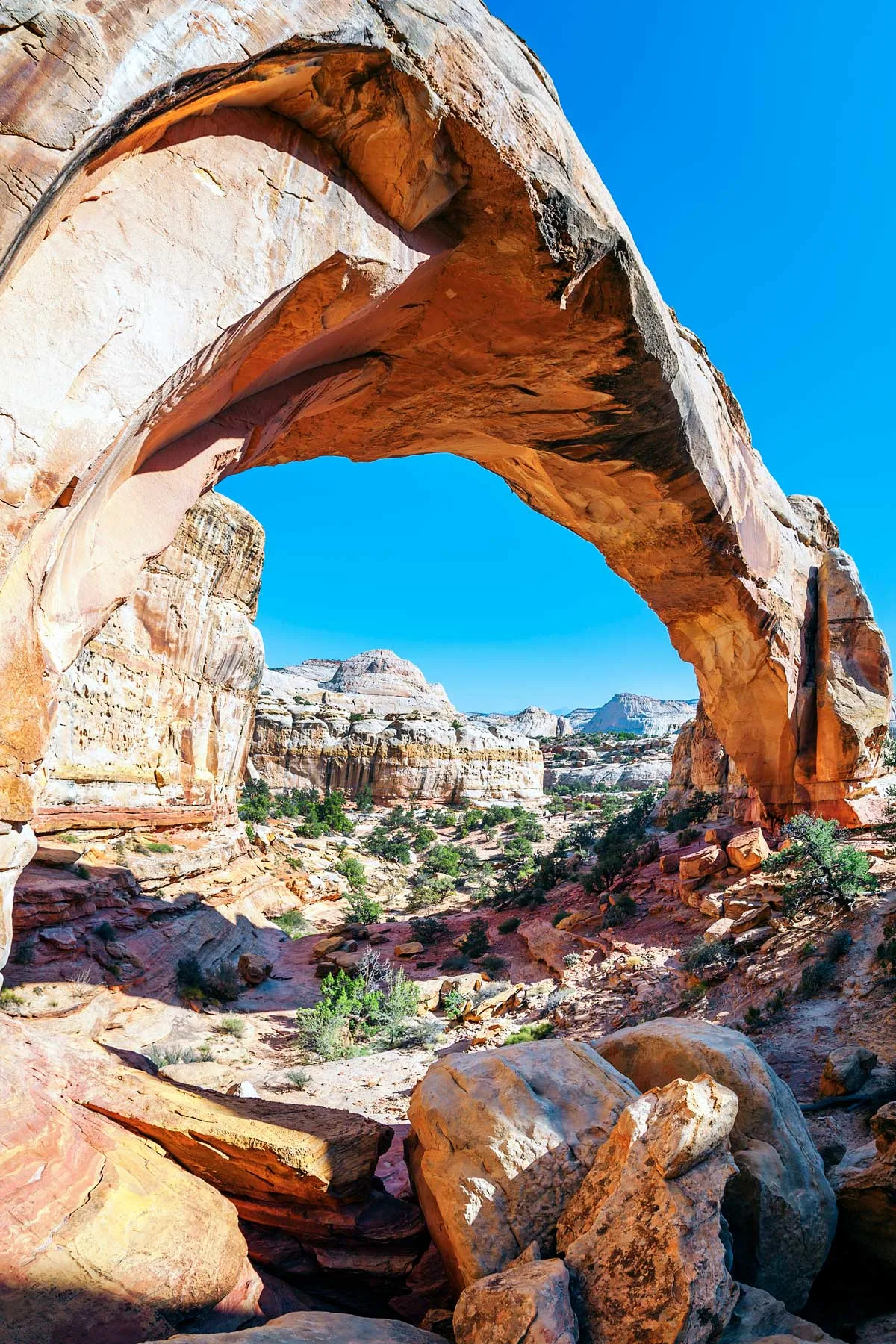
- Hickman Bridge is an easy hike that offers beautiful views with a tucked-away arch at the end.
- Cassidy Arch Trail leads to an arch you can walk across, which spans a gorge between two cliff walls.
- Hike the Rim Overlook for incredible vistas over the park and the Waterpocket Fold.
- The Cathedrals Trail takes you right along the massive monoliths in Cathedral Valley.
Can’t Miss Viewpoints
- Sunset Point has, you guessed it, beautiful views at sunset. The overlook at the top of a canyon rim has sweeping views over the canyon below.
- The Fruita District has some historic homes and an orchard from the first settlers in the town of Fruita.
- The Fremont Petroglyphs have a boardwalk running along a large rock with petroglyphs from the people who lived in the area over 1000 years ago.
- Panorama Point and Goosenecks Overlook also offer beautiful vistas of Capitol Reef.
Permits or Reservations Required
None
Shuttle Bus
There is no shuttle service in the park.
Camping in the Park
There are 71 sites at Fruita Campground. Reservations in advance are required. There are also two small primitive campgrounds in Cathedral Valley.
How Many Days Do You Need in Capitol Reef National Park
In one day, you can see a lot of Capitol Reef National Park, but you really need two days to experience most of the hikes in the park.
Plan for three days if you want to do some of the longer trails.
Canyonlands National Park
Distance from Capitol Reef: 2 hours 15 minutes, 145 miles
Known For
By area, Canyonlands is the largest park in Utah and is divided into four distinct districts: Island in the Sky, The Needles, The Maze, and the Rivers.
Island in the Sky is the most accessible district and where the majority of people visit. Here, you can admire the massive mesas and dramatic views of canyons carved by the Colorado and Green Rivers.
In the Needles, you can hike through striped sandstone pillars (aka Needles), offering otherworldly views. The Maze is an incredibly remote and difficult region to get to, full of rugged, twisting canyons and plateaus. The Rivers include the actual rivers of the Canyonlands – most people visit this area for rafting trips.
Each of these regions is very separate from the others, and it requires several hours to navigate between the districts.
Crowd Levels
Moderate to low in Island of the Sky, very low in the Needles, the Maze, and Rivers.
Closest Town to Canyonlands National Park
Moab, a popular hiking base, is located about 30 miles (35-minute drive) away from Island in the Sky Visitor’s Center.
Moab is a fairly well-developed town, with multiple hotels, camping areas, restaurants, grocery stores, entertainment options, and a whole host of adventure activities and outfitters based in the city.
Can’t Miss Hikes in Canyonlands
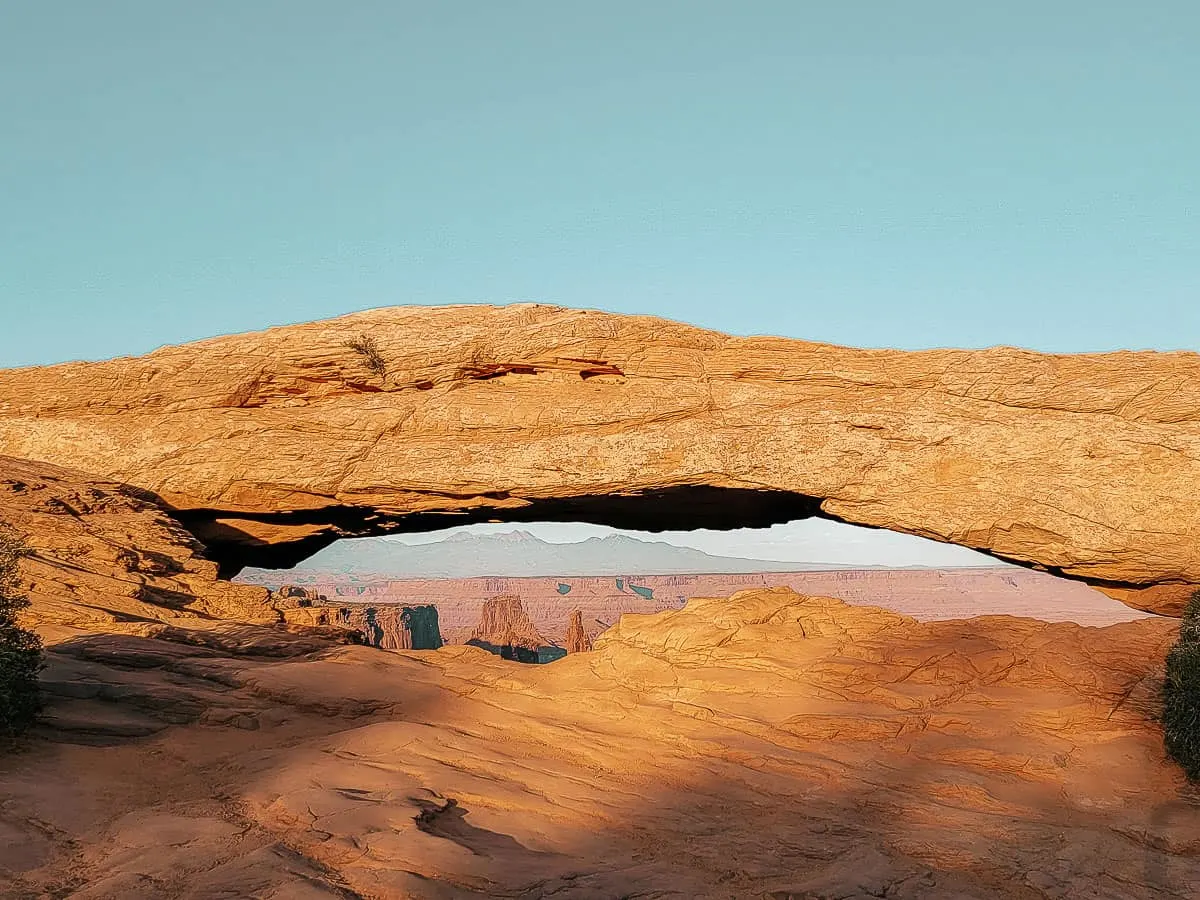
- Mesa Arch is a short, easy hike with a massive payoff. You’ll arrive at the relatively small Mesa Arch on the edge of the cliff. Through the arch, you have incredible views over the canyons below.
- Upheaval Dome is a fun hike to a crater possibly formed by a meteorite impact over 60 million years ago.
- Don’t miss the Chesler Point Trail in the Needles District, which takes you through slot canyons, over boulders, and among the striped, pillar rock formations.
Can’t Miss Viewpoints
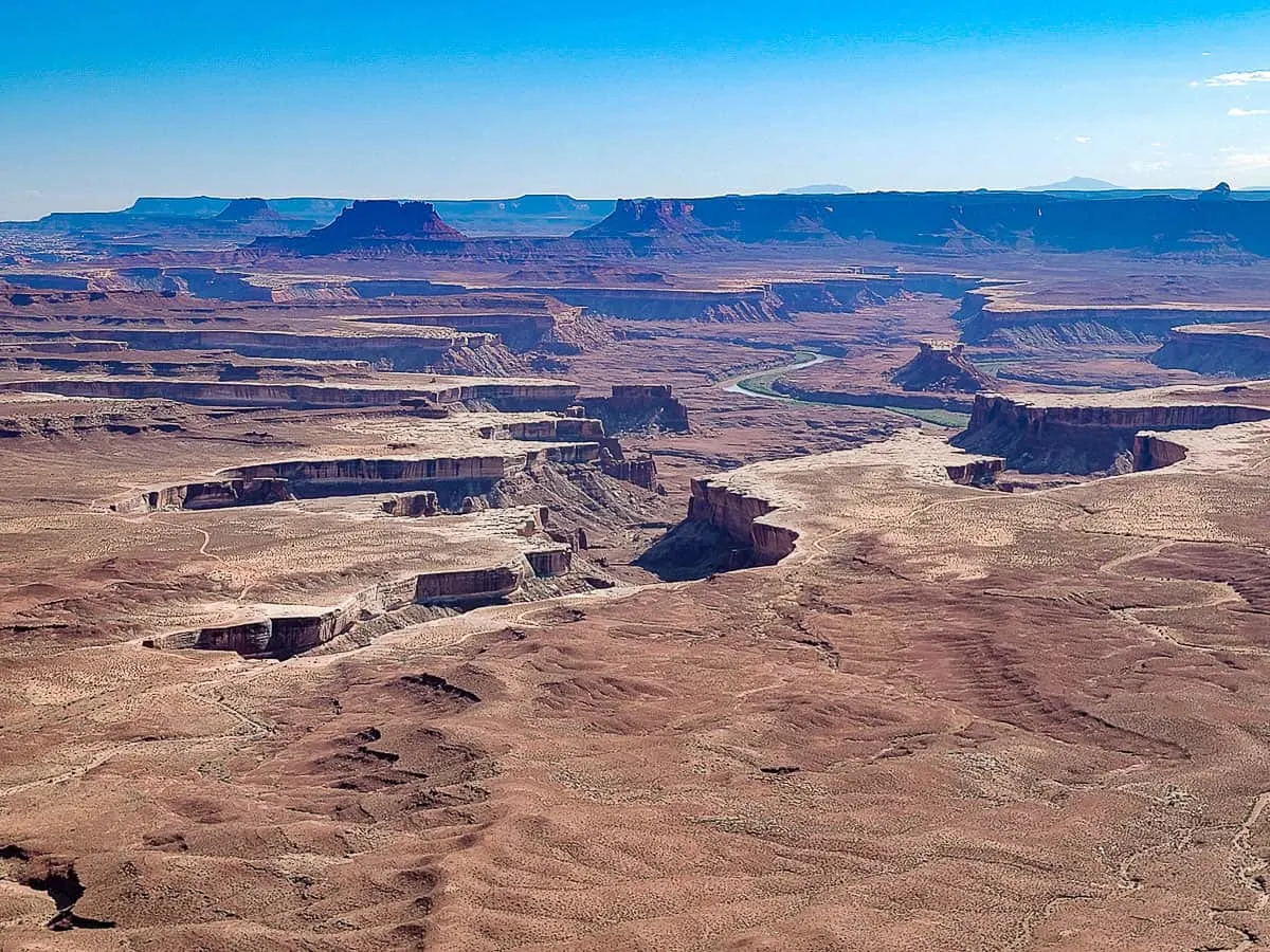
- Grandview Point Overlook offers sweeping vistas from the mesa’s edge of the canyonlands below, where a scramble of deep gorges is cut into the valley floor.
- Green River Overlook also showcases deep canyons cut into the valley beneath.
- Shafer Canyon Overlook is another favorite right at the entrance. Stand at the edge of the cliff, looking down at the horseshoe-shaped valley and the Shafer Canon Trail that winds its way down the side of the mountain.
Permits or Reservations Required
None for basic entry or for most of the hikes. You do need a permit to drive on some of the remote roads in the Needles.
Shuttle Bus
There are no shuttles in the park.
Camping in the Park
- Canyonlands National Park has the Island in the Sky Campground, which has 12 spots and is first come, first serve.
- The Needles Campground has 26 campsites, which depending on the time of year, are sometimes first come, first served. Reservations are possible during peak seasons – see campsite information about reservations here.
- Primitive camping in the backcountry of the Needles district is also an option.
How Many Days Do You Need
- One day is adequate for the main attractions in the Island in the Sky District.
- If you want to do the Needles, you’ll need another 1-2 days.
- The Maze and the Rivers also would require another 1-2 days each.
Arches National Park
Distance from Canyonlands: 30 minutes, 26 miles
Known For
As the name suggests, Arches National Park is known for the unique and jaw-dropping naturally formed arches and bridges that dot the landscape.
There are over 2,000 arches in the park. Visitors will see a fraction of these as they explore the incredible viewpoints and hiking trails in Arches.
Crowd Levels
Moderate to High
Closest Town to Arches National Park
Moab is located about 5 miles (10-minute drive) from the entrance to Arches NP.
As mentioned, Moab is a fairly well-developed town, with multiple hotels, camping areas, restaurants, grocery stores, entertainment options, and a whole host of adventure activities and outfitters based in the city.
Can’t Miss Hikes in Arches
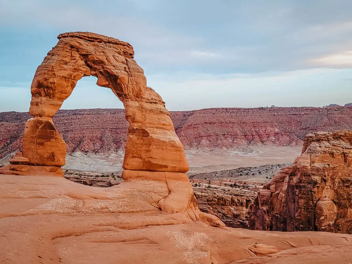
- The hike to Delicate Arch is THE must-do in the park. The staggering feat of nature is a completely free-standing arch perched on the edge of a ridge, with an easy viewing area.
- Other must-sees are Landscape Arch, the longest arch in the world that is also shockingly skinny.
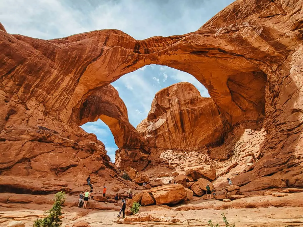
- Double Arch is a quick walk to a massive arch with two prongs.
- My personal favorite hike in the park is the Fiery Furnace. Only a limited number of permits are given out to go off-trail and explore a maze of fins and canyons.
Can’t Miss Viewpoints
- Balanced Rock is the most famous viewpoint in the park. It is a large boulder balancing precariously on a small pillar.
- Park Avenue has a beautiful view down into a large canyon with interesting rock fins and shapes along the sides.
Permits or Reservations Required
As of 2022, you now need a timed entry reservation to enter Arches National Park between the hours of 7 am and 4 pm.
Reservations are available three months ahead of time on a block schedule, with a limited number also being available the day of.
If you don’t get a reservation slot, you can still enter the park before 7 am or after 4 pm.
You also need a reservation and permit to hike in the Fiery Furnace.
Shuttle Bus
There are no shuttles that serve Arches National Park. Parking lots often fill up; if they do, you just need to return to that spot later.
Camping in Arches National Park
Devils Garden Campground offers 51 campsites that can be reserved ahead of time.
How Many Days Do You Need
- You can see a few of the highlights with a day in the park.
- With two days, you can see and do most of the hikes in the park. You can find a 2-Day Arches NP Itinerary here.
- Three days allow you to see and do everything without going at breakneck speeds.
Suggested Utah National Parks Road Trip Itineraries
Suggested 5-Day Road Trip Itinerary
- Day 1: Zion National Park
- Day 2: Zion in the morning, Bryce Canyon in the afternoon and evening
- Day 3: Capitol ReefNational Park
- Day 4: Canyonlands (Island in the Sky District), Arches in the Evening
- Day 5: Arches National Park
Suggested 7-Day Road Trip Itinerary
- Day 1-2: Zion National Park
- Day 3: Bryce Canyon National Park
- Day 4: Capitol Reef National Park
- Day 5: Canyonlands National Park (Island in the Sky district OR the Needles)
- Day 6-7: Arches National Park
Finishing Your Road Trip
Now that you’ve finished visiting all of Utah’s Mighty 5, it’s time to head back home. Here are some distances to be aware of:
- Distance from Arches to Salt Lake City: 3.5 hours
- Distance from Arches back to Las Vegas: 7 hours
Roadtripping Utah’s Mighty 5
If you have more than seven days to road trip around Southern Utah, you can add a few extra days into the parks you are more interested in exploring.
Or, you can visit some of Utah’s many incredible destinations and hikes that aren’t in national parks.
There are state parks galore in Utah, national monuments, the Grand Staircase-Escalate region, and much more. Utah offers jaw-dropping scenery, epic hikes, and gorgeous natural wonders. You could easily spend months exploring southern Utah.
Whether you have five days or three weeks, you won’t soon forget the beauty and majesty of southern Utah and its incredible national parks.
