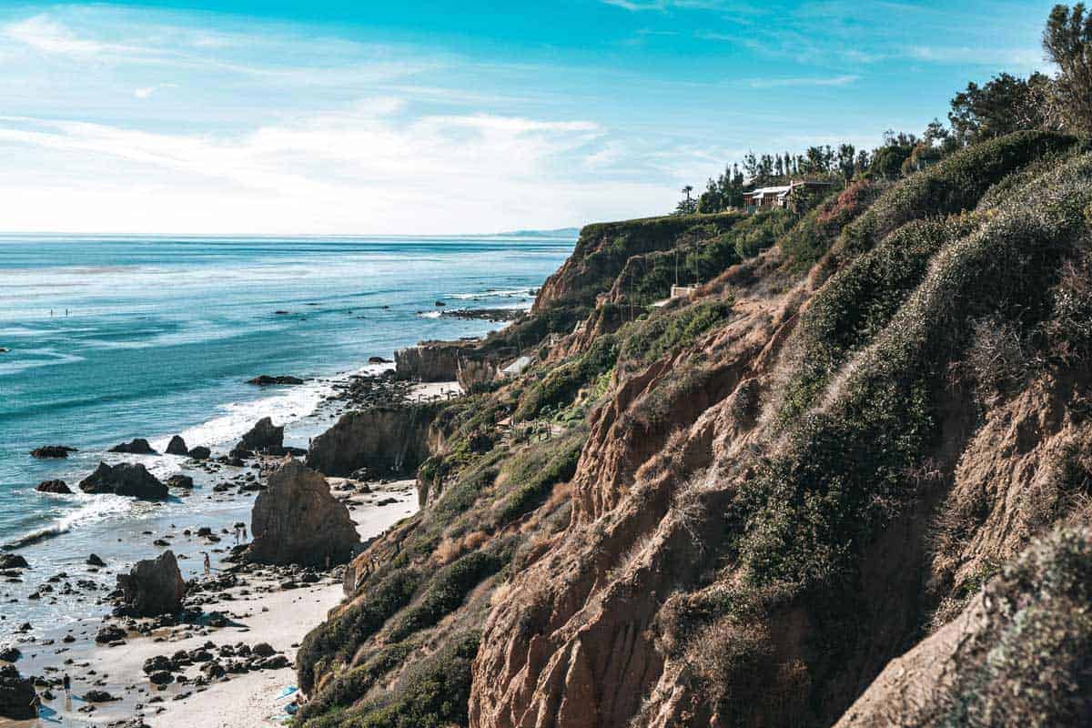
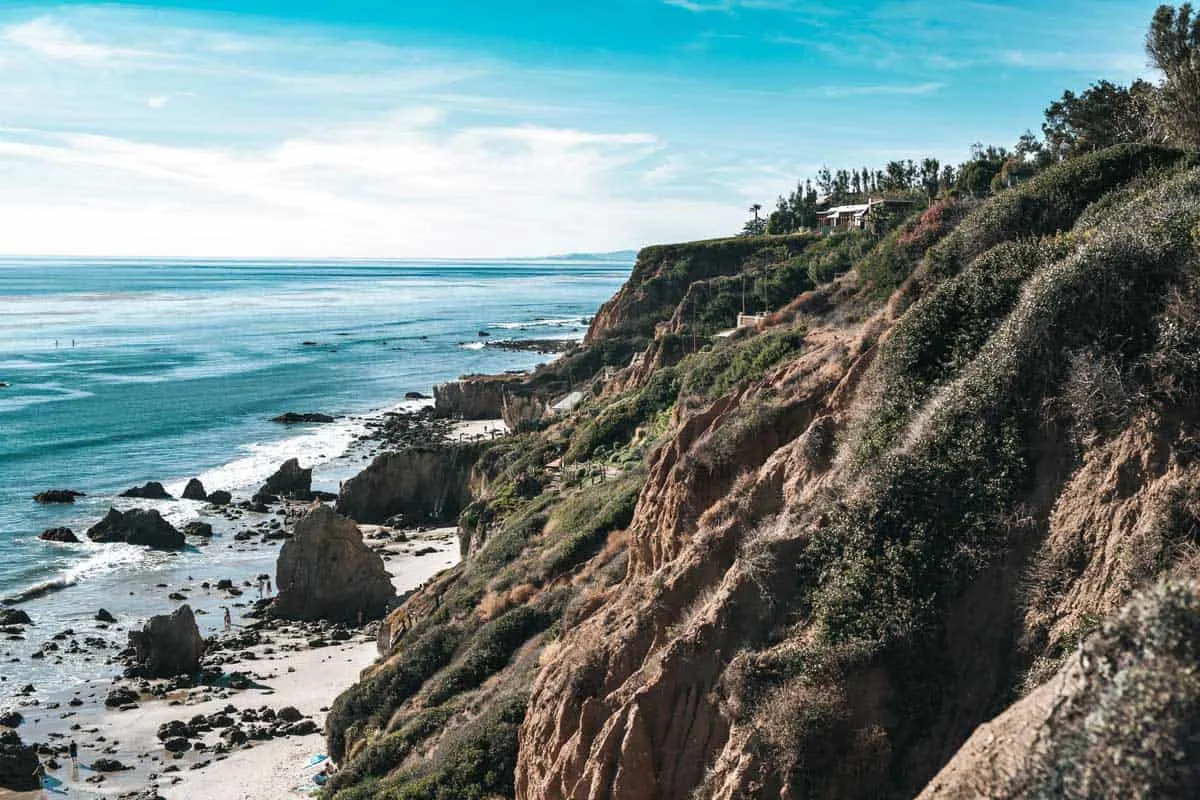
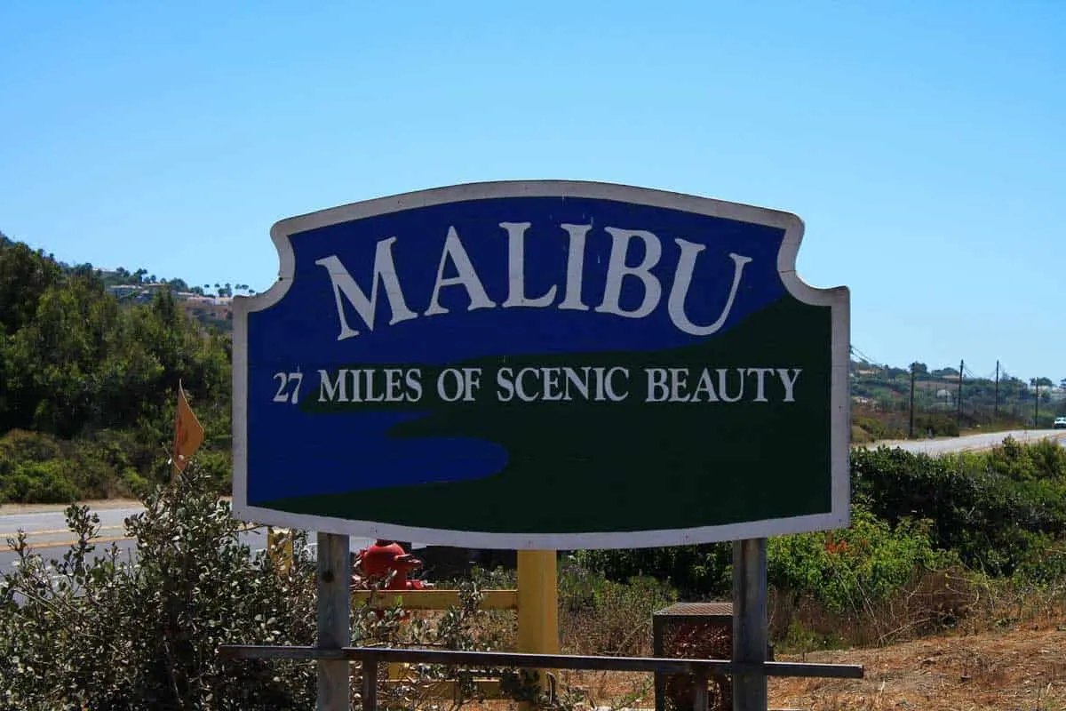
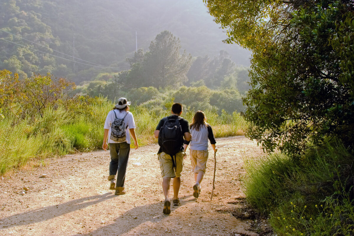
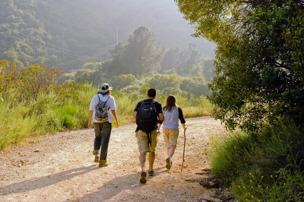
Tthere’s more to Malibu, CA, than just sandy shores and stellar surfing. Prepare to be amazed, because Malibu boasts some of the finest hiking trails in all of Southern California! You can hike in SoCal year round, and it’s one of the best places in the country for winter hiking.
Join us as we uncover the hidden gems of Malibu, from the iconic M*A*S*H filming location nestled within Malibu Creek State Park to trails offering panoramic vistas of the Pacific Ocean and stunning waterfall hikes that will leave you in awe.
But before you hit the trails, we’ve got you covered with essential tips to ensure a safe and enjoyable hiking experience in Malibu. So lace up your boots, pack your water bottle, and get ready to explore the best of Malibu’s hiking trails—it’s a journey you won’t soon forget!
Discover More of the Best Hiking Destinations in the USA
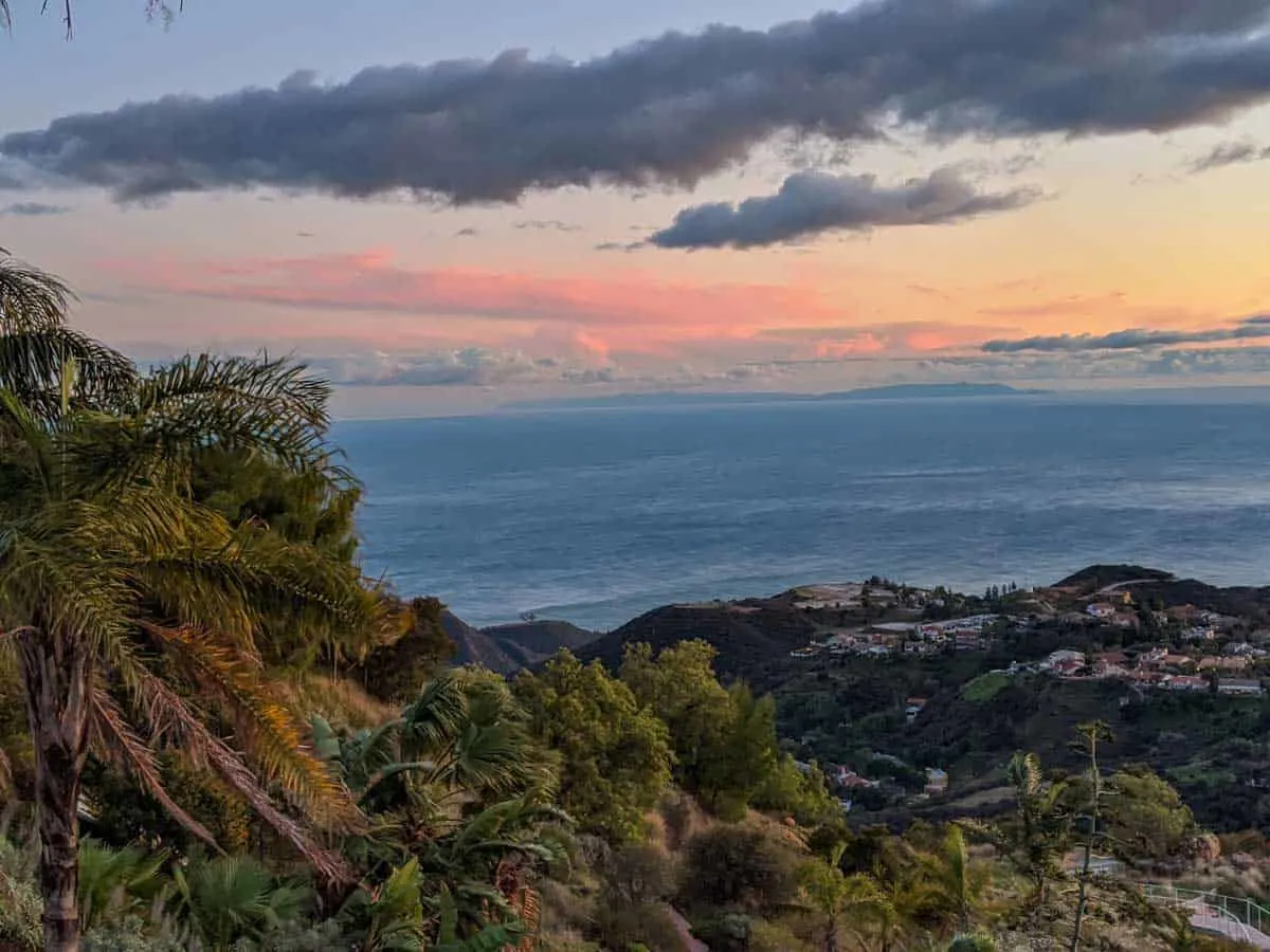
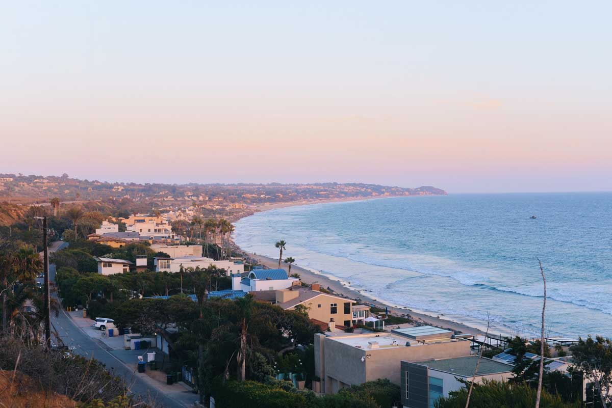
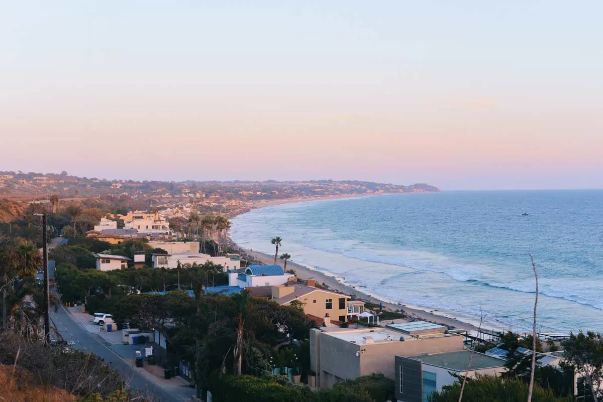
While hiking in the deserts of California will undoubtedly showcase unique and exciting landscapes as in the famous Joshua Tree National Park, hiking in Malibu, near the ocean during the summer months can be much more comfortable thanks to the pleasant ocean breezes. Not to mention, as you gain elevation, you will be rewarded with some of the best panoramic views of the Pacific Ocean you will find anywhere, hands down.

With many great trails in Malibu to choose from, these are the top 8 Malibu hiking trails you shouldn’t miss. They cover varying levels of difficulty and terrain, so there is something for every hiking ability.
In addition to the best hiking trails in Malibu, we’ve also included some awesome hiking tips that will help you on your adventures.

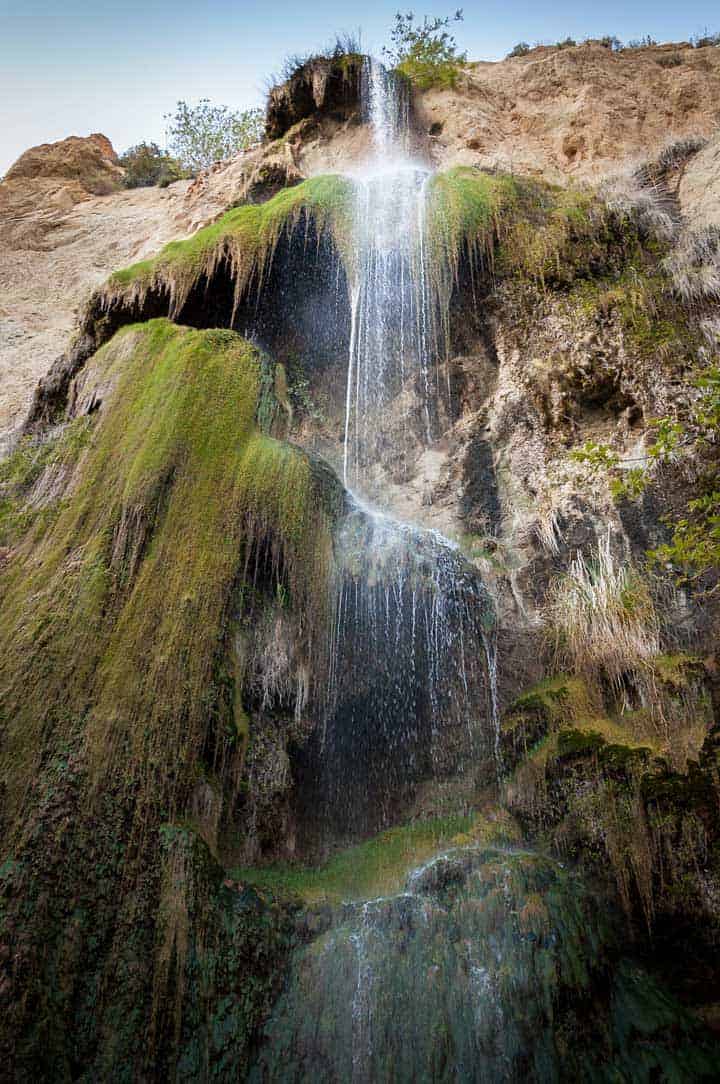
1) Escondido Canyon Trail to Escondido Falls
- Distance: 3.7 miles
- Time: ~2 hours
- Terrain: Mostly flat with some rocky hills
- Difficulty: Moderate
Get ready to chase waterfalls on the Escondido Falls trail at Escondido Canyon Park—it’s a real gem, but here’s the scoop: the waterfall’s flow can vary depending on the season. If you hit the trail in the scorching summer months, you might find the falls taking a little siesta.
But fear not! With a bit of insider knowledge, you can make the most of this Malibu must-do. We recommend an early morning adventure to beat the crowds and catch one of those precious free parking spots—trust us, they’re as rare as a cool breeze on a summer day! So slap on some sunscreen, grab your water bottle, and let’s go chase some waterfalls!
Let’s kick off this adventure at the parking lot located at the corner of Pacific Coast Highway and Winding Way—it’s the gateway to our hiking escapade! To find the official trailhead, take a stroll down Winding Way Road, passing by some jaw-dropping Malibu mansions until you spot the sign marking the start of our journey.
Discovering the Waterfalls
Once you hit the trail, get ready for a breezy hike with plenty of shade from the towering trees along the mostly flat path. About a mile in, you’ll be greeted by your first waterfall—steep and picturesque, with a charming little pool at its base. To keep the adventure going, follow the rocky trail to the right, but tread carefully—those rocks can be sneaky!
As you venture deeper into the hike, get ready to be wowed by the ever-escalating beauty of the waterfalls. The pièce de résistance? The third waterfall, standing tall at a whopping 150 feet! While swimming might not be on the agenda due to shallow pools, it’s the perfect spot to take a breather and beat the heat. So grab your camera, pack some snacks, and let’s make some memories on this Malibu adventure!
Know what to pack with our Hiking Vacation Packing Guide.
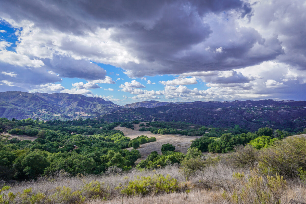
2) Temescal Canyon Trail
- Distance: 3.8 miles
- Time: ~2 hours
- Terrain: Some steep inclines. mix of shaded forest and arid on the ridge.
- Difficulty: Easy to Moderate
Ready to conquer one of the coolest hikes in Topanga State Park? Strap on your hiking boots and get ready to tackle the Temescal Canyon Trail—it’s an adventure you won’t want to miss!
Now, don’t let the word “best” scare you off—this hike is totally doable, even if you’re not a seasoned pro. Sure, it might throw a few challenges your way, but that’s all part of the fun!
As you hit the trail, get ready to feast your eyes on some seriously epic sights. Think stunning ocean views, sweeping panoramas of Malibu, Santa Monica, and Los Angeles, and even some hidden waterfalls if you’re lucky! Plus, depending on the season, you might find yourself surrounded by a vibrant landscape of wildflowers—it’s like stepping into a real-life painting! So grab your gear, rally your crew, and let’s hit the trails for an unforgettable adventure!
There are several ways you can tackle this hike. It can be an out and back hike, or it can be a complete loop. A counterclockwise hike (taking the right trail) can involve some steep inclines, but the views are far more rewarding on the way down.
It’s advisable to do this hike early for both lack of crowds and some shade on the way down. The waterfall will be a lot more impressive after rain but you can also expect it to be a little muddy on the trail
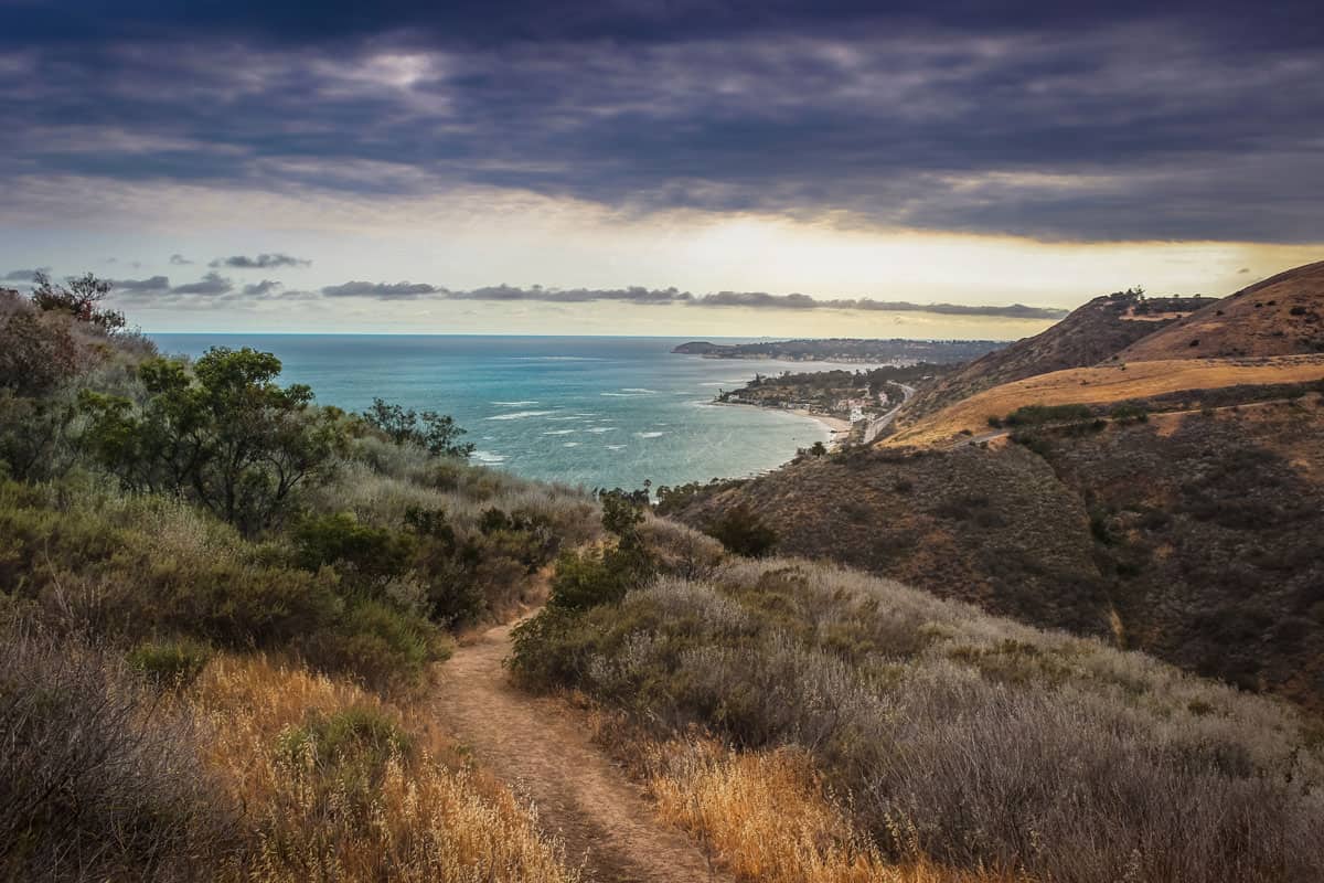
3) Los Liones Trail to Parker Mesa Overlook
- Distance: 7.8 miles
- Time: ~4 hours
- Terrain: Lots of hills; some shade
- Difficulty: Moderate to Difficult
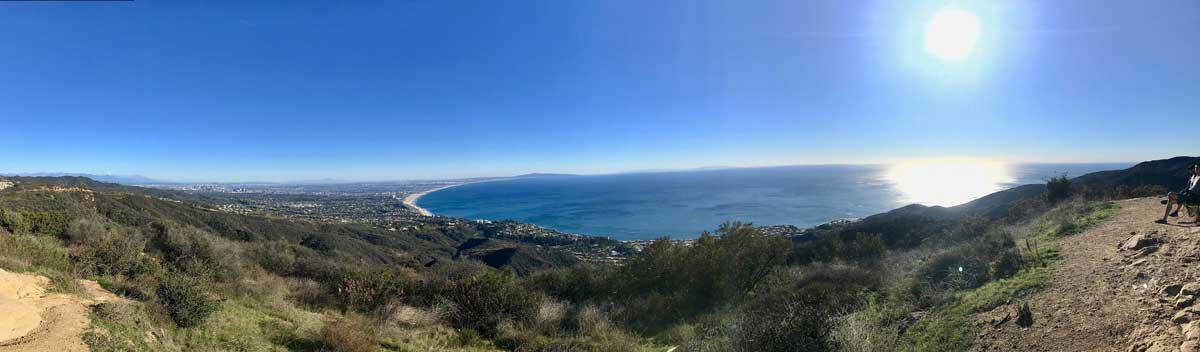
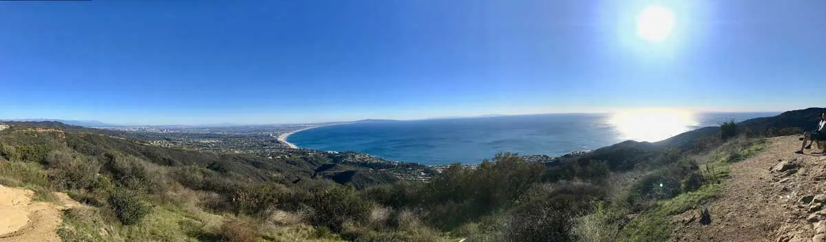
Get ready to embark on another epic adventure near Pacific Palisades, complete with jaw-dropping views of Malibu and the mighty Pacific Ocean—this hike has got it all!
But hey, fair warning: the Los Liones Trail is no secret gem—it’s pretty popular, especially on weekends. But fear not! With a trail stretching 8 miles roundtrip, you’ll find plenty of space to roam and soak in the beauty of nature without feeling like you’re in a crowded city street.
As you kick off your journey, the trail treats you to a shady, tree-lined ascent, providing the perfect backdrop for your outdoor escapade. And just when you think it can’t get any better, about a mile in, you’ll stumble upon a cozy bench offering panoramic views of the Pacific Ocean. Talk about a prime selfie spot! So grab a sip of water, snap a few pics, and get ready to conquer the rest of the trail—because trust us, the best is yet to come!


Continue winding up the trail, which, depending on the time of year might be dry brush or might be lush green (typically in February). Though the trail starts in shade, this quickly turns to sunny uphill terrain as you leave the forest area. There are several amazing viewpoints as you gain elevation.
Parking is free if you begin at the Los Liones trailhead. This hike holds a Moderate to Difficult rating as it can be customized with various offshoots, and the sun can be intense.
4) Rock Pool and Century Lake Trails
- Distance: 4.4 miles
- Time: 2.5 hours
- Terrain: Shaded canyon
- Difficulty: Moderate
Get ready to lace up your boots and hit the trails on the Rock Pool & Century Lake adventure! This 4.4-mile hike is like a mini outdoor escape, perfect for those itching to reconnect with nature without needing to pack up the whole shebang for a weekend in the wilderness.
But hey, here’s the scoop: this isn’t your average hike! Whatever you do, resist the urge to turn back early—trust us, you won’t want to miss a chance to cool off in the legendary Rock Pool. Bonus points: it’s also a primo spot for a little climbing action! Fun fact: this gem even made an appearance in the 1968 Planet of the Apes film—talk about star power!
Now, we won’t sugarcoat it—there are a few twists and turns along the way. But fear not! With a little help from your trusty GPS track points, you’ll stay on course and make the most of your trail time. So grab your gear, pack a snack, and get ready for a hike that’s sure to rock your world!
5) The Zuma Ridge Hike
- Distance: 5.4 miles
- Time: 2 hours
- Terrain: Hills and dry brush
- Difficulty: Moderate
Ready to escape the hustle and bustle of LA and dive into nature? Look no further than the Zuma Trail—it’s like a hidden gem nestled just a bit farther north in Malibu!
Prepare to leave the crowds behind and soak up some serene vibes as you trek along this scenic trail. With breathtaking views of the ocean and mountains, you’ll be in awe at every turn.
And guess what? Parking is a breeze, and it won’t cost you a dime! Just hop on the Pacific Coast Highway (PCH) and make your way to Busch Drive. Follow the road all the way to the end, where you’ll find the parking lot waiting for you on the right. Once you’re parked and ready to hit the trail, keep your eyes peeled for the sign pointing you in the direction of the “Zuma Ridge Trail”—trust us, you’re in for a treat! So grab your gear, pack some snacks, and let’s embark on an adventure you won’t soon forget!
The Zuma Ridge trail is an out-and-back hike totaling 5.4 miles, but there are additional offshoots if you want a longer trek. Dogs and horses are allowed on the trail and there are no restrooms. This hike is in full sun much of the time, so a hat is a great idea.
Want more Great Hiking Vacations in California? See these hiking guides:
6) Corral Canyon Loop Trail
- Distance: 2.5 miles
- Time: 1.5-2 hours
- Terrain: Mostly flat with lowlying shrub. Muddy in parts after rain.
- Difficulty: Easy
An easy, family-friendly hike ( it is also dog friendly on leash), the Corral Canyon Loop Trail in Corral Canyon Park is one of the most accessible hikes in Malibu. Other than the accessibility, the highlights are the beach and ocean views, a river, wildflowers in spring, and a seafood restaurant, which makes it a great morning hike with lunch option.
Start this trail clockwise for continual coastal views on the descent. There are some moderate inclines with a 500-foot elevation gain, but this is an easy trail overall.There is parking at the trailhead, shared with the restaurant. To avoid the $15 parking fee, park on the Pacific Coast Highway (PCH).

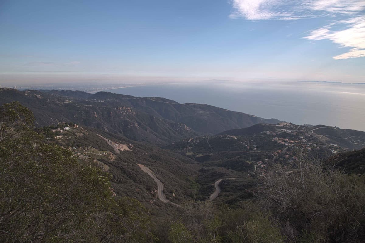
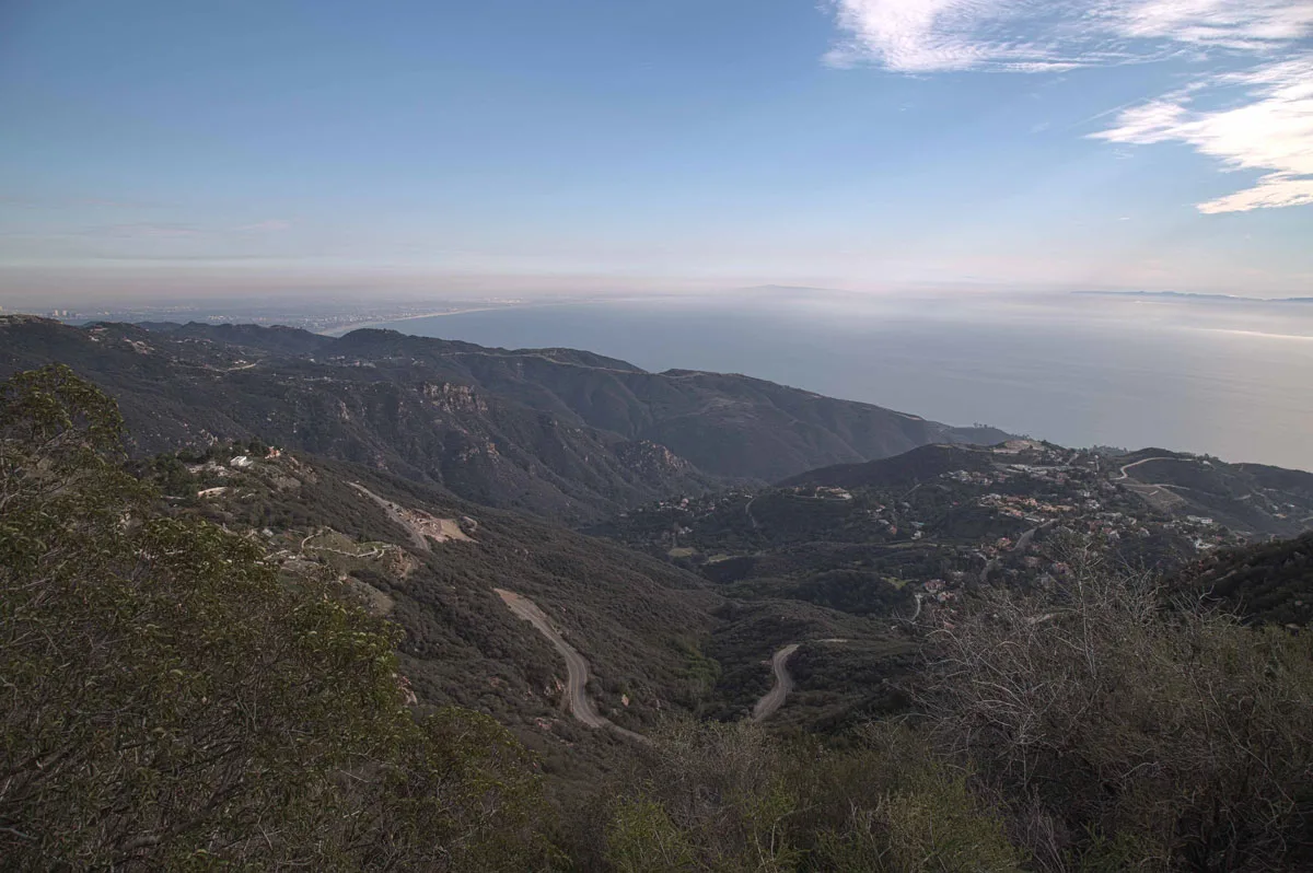
7) Backbone Trail to Sandstone Peak and Mishe Mokwa Trail Loop
- Distance: 6.2 miles
- Time: 3-4 hours
- Terrain: Sandy, rocky trail with some steep inclines and scrambling in parts. No shade.
- Difficulty: Moderate
Get ready for an epic adventure on the Backbone Trail to Sandstone Peak and Mishe Mokwa Trail Loop—it’s a hike that’s as thrilling as it is rewarding!
Clocking in at 5.7 miles, this moderate trek will have you navigating some steep inclines and maybe even doing a little light scrambling at the peak. But fear not! With breathtaking views, impressive sandstone formations, and canyons to explore, every step of the way is pure magic.
And hey, did we mention it’s dog-friendly? Just be sure to keep your furry friend on a leash and watch out for those toasty temperatures—this trail can get pretty toasty, especially in the exposed sections.
Now, here’s the scoop: we recommend starting your journey with a clockwise route to make the most of those jaw-dropping vistas. But if you’re feeling adventurous, feel free to mix things up with a counterclockwise start—it’s your hike, after all!
But hey, if you’re not up for the full loop, no worries! You can always opt for a shorter 3.2-mile out-and-back hike to Sandstone Peak for a taste of the action. Whether you’re chasing sunsets or simply soaking in the scenery, this hike promises memories that’ll last a lifetime. So lace up those boots, grab your water bottle, and let’s hit the trails—it’s adventure time!
8) The M*A*S*H Hike
- Distance: 4.85 miles
- Time: 2 hours
- Terrain: Mostly flat with some hills
- Difficulty: Easy
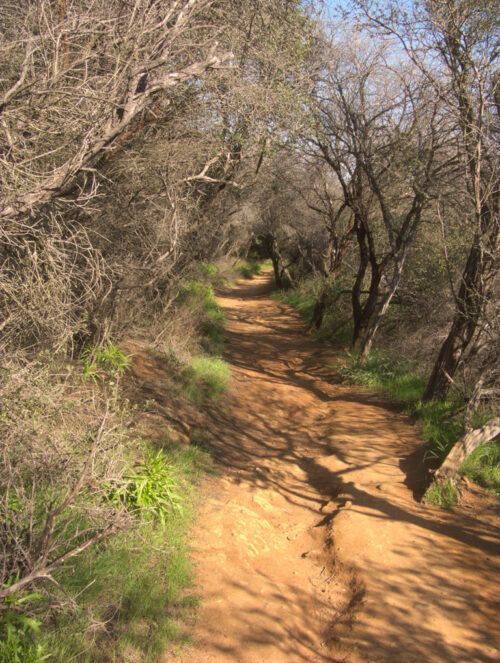
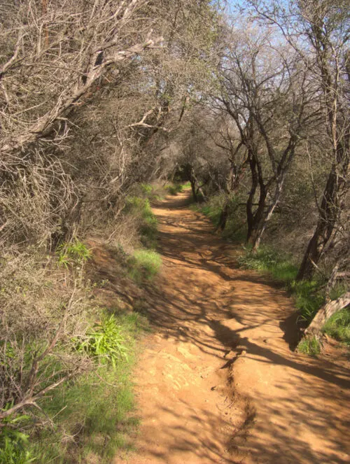
Last but not least, one of my absolute favorite hikes. Malibu Creek State Park lies somewhat inland, on the border of Malibu and Calabasas. Though I’ve never even watched the show, the M*A*S*H hike is a great experience.
First of all, the hike itself offers enough shade so that even on an inland hike, you can stay relatively comfortable. There are sun-drenched rolling hills too, but with several stretches of shade, you will never overheat.

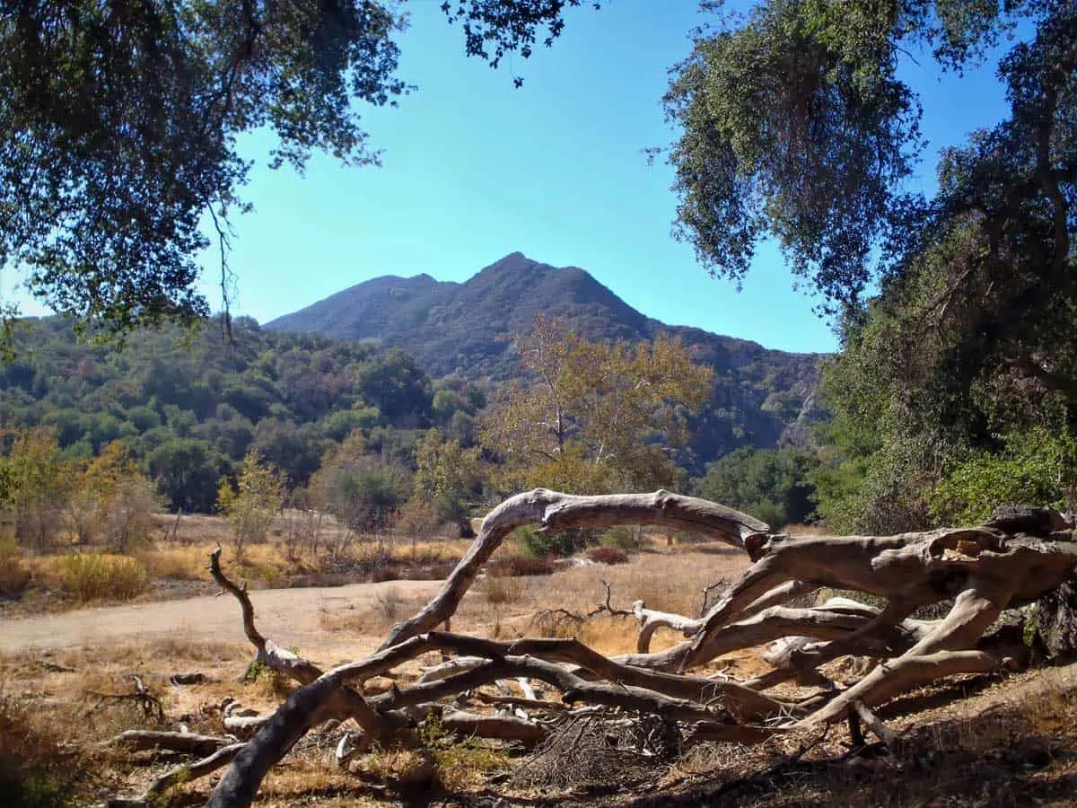
The trail itself is well-trodden. The shaded areas offer a very wide trail for traffic moving in both directions while the hilly areas are a bit narrower. Midway through this out and back trail, you have reached a filming location for M*A*S*H – complete with set and show paraphernalia that has been left behind since the 1980s.
A placard points out several locations of significance and rusted old trucks remain on site. There are even picnic tables near the set site, making it a great location to stop and eat a packed lunch before turning back.
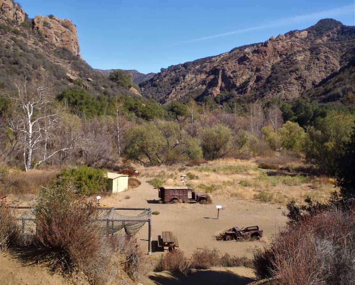
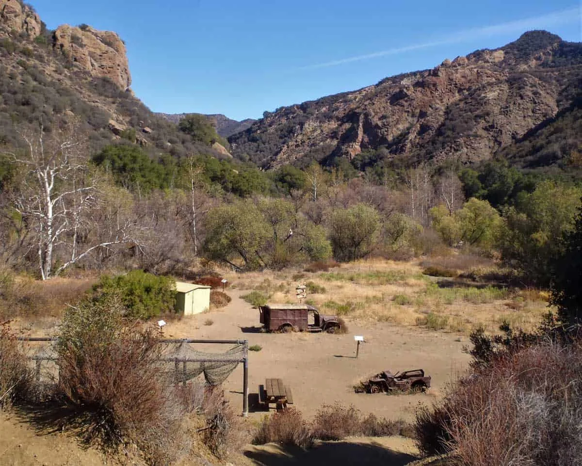
Parking is free from Mulholland Highway and the start of the trail is inconspicuous – look for a break in the wooden fence to mark the path.
After your hike of choice, a great lunch or dinner stop on the pier, called Malibu Farm, serves fresh and local organic food directly over the water.


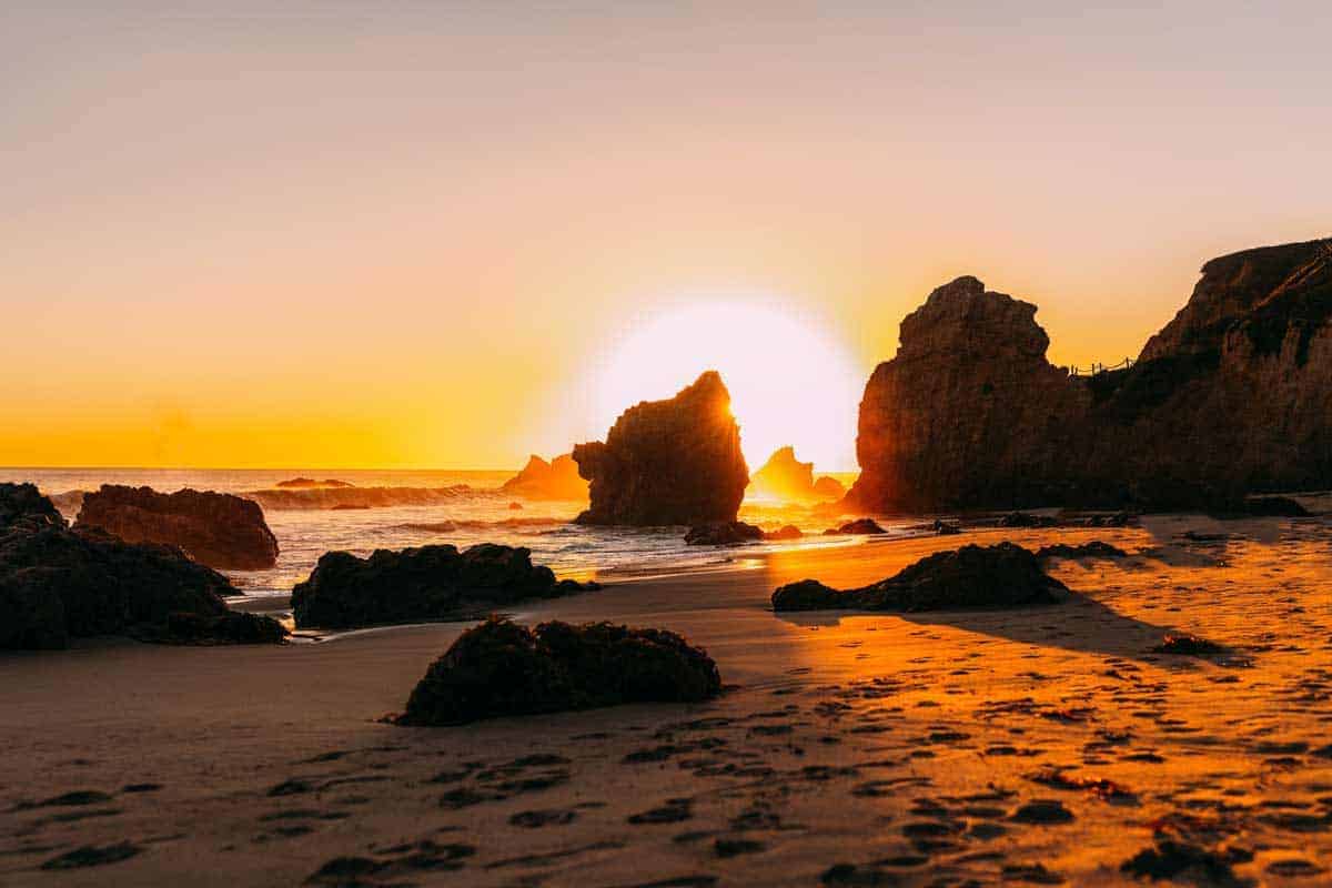
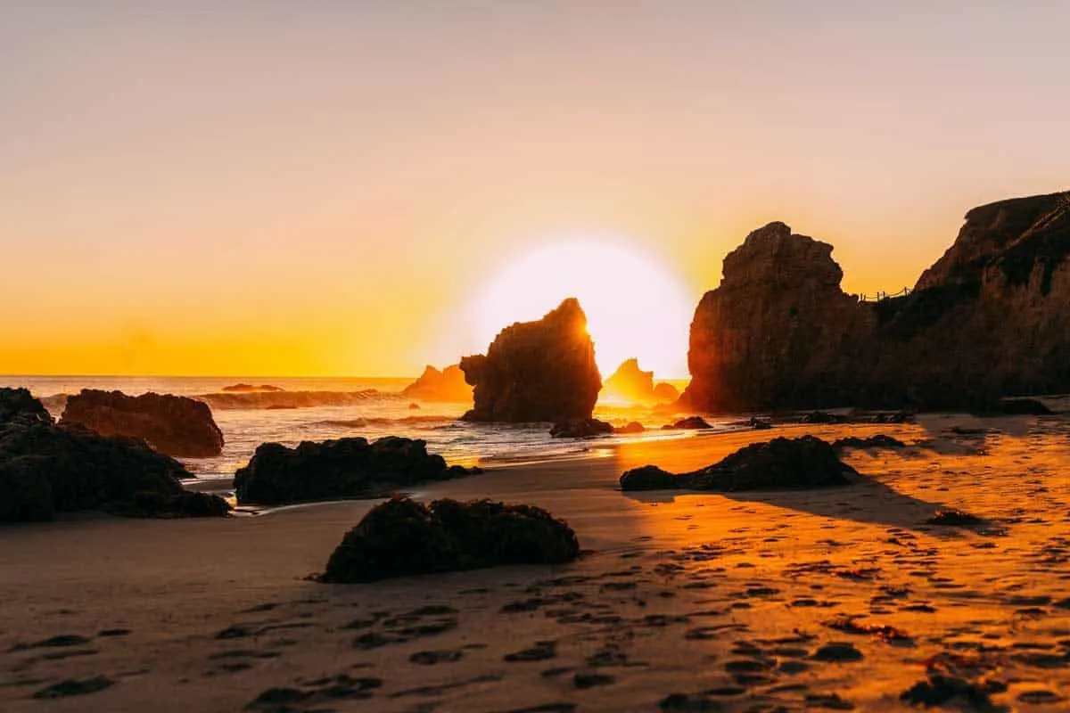
The best sunset spot can be found on the cliffs at El Matador State Beach, and the best surfing is undoubtedly found in Zuma Beach.
Tips for Hiking in Malibu
- Download an Offline Trail Map: Don’t always assume you will have cell recetion on a hike. Download an offline map before you head off to ensure you don’t get lost. Some trails are not that easy to follow. AllTrails is a great resource for hiking maps and detailed trail instructions.
- Be Sun Smart: Even if you set off early morning, the sun is very hot. Wear breathable layers, always hike with a hat and sunglasses, and throw some extra sunscreen in your pack.
- Bring More Water Than You Need: Hydration when hiking is essential no matter the climate. In warm temperatures, hikers should carry at least 1-2 litres of water for every two hours they are out—more for hotter weather or challenging hikes.
- Always use reusable water bottles to avoid rubbish on the trails. A Camel Back Hydration pack is an excellent investment for regular hikers, or collapsible water bottles are another handy option.
- Hiking With Dogs: Make sure you know which trails are dog friendly and keep your dog on a leash at all times on the trail.
Remember to Stay Alert
- Don’t Hike After Dark: Try to keep your hikes timed to coincide with daylight hours. Other than the potential of getting lost or hurt, you increase your chances of unwanted wildlife encounters after dark.
- Respect Wildlife: Don’t be surprised if you run into deer, snakes, mountain lions, coyotes or other animals on your hike.
- If you encounter any wildlife, give them space and remain calm.
- Never run from larger animals such as coyotes or mountain lions – Slowly back away while keeping an eye on the animal. You can contact Santa Monica Park Ranger Services for more information on how to handle animal encounters on your hike safely.
- Stay on the Marked Trails: Protect the wilderness and yourself by staying on the marked trails. You can avoid ticks (on both you and your dog), encounters with Pacific Poison Oak, as well as scratches and scrapes. Long pants are always a good idea for overgrown trails.
- Be Fire Aware: Southern California is prone to terrible wildfires thanks to dry conditions in some of the best hiking areas. Make sure you don’t inadvertently start fires with stray cigarette butts or anything that could ignite a spark. Also, wildfires can start and spread very quickly. Check any potential or active fire situations before you head off on your hike so you don’t find yourself in a fire situation.
- Consider if the weather is too hot for your dog – dogs can overheat trying to keep up in the heat and risk burnt paws.
- Always check your dog for ticks after your hike.
Hiking in Malibu
This round-up of the 8 best hikes in Malibu offers something for everyone – from difficult 8-mile treks near the ocean to shaded inland hikes under 5 miles. Whether you choose one or every hike, you are bound to have an enjoyable and scenic time hiking the best trails of Malibu.
About the Author
Monica Chapon
Monica is the founder and creator of This Rare Earth, a travel blog focusing on offbeat adventures and learning about the local way of life in less-visited destinations. She has been to over 45 countries, primarily solo, and is on a mission to prove that you can travel the world safely as a solo female.